//living with a twist and an edible landscape in Oosterhout
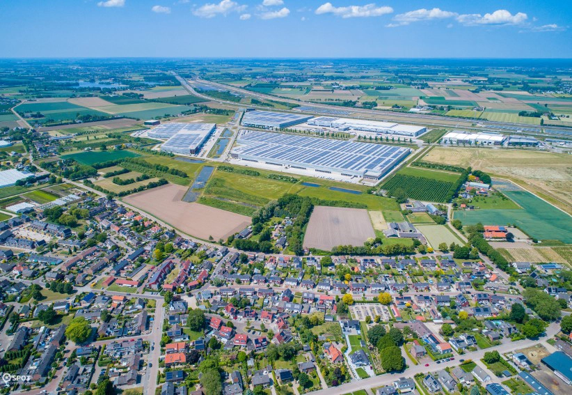
Park15
urban design
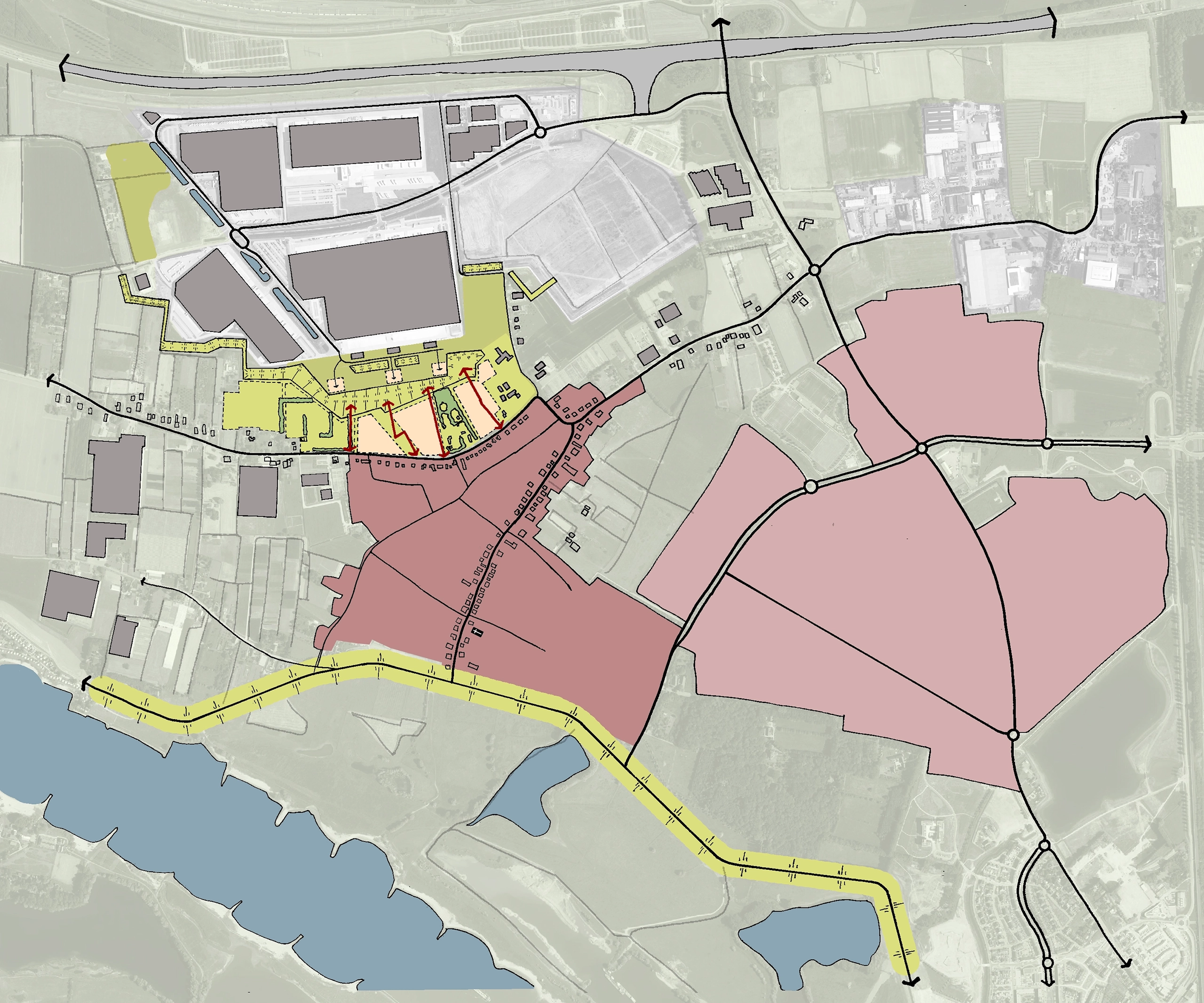
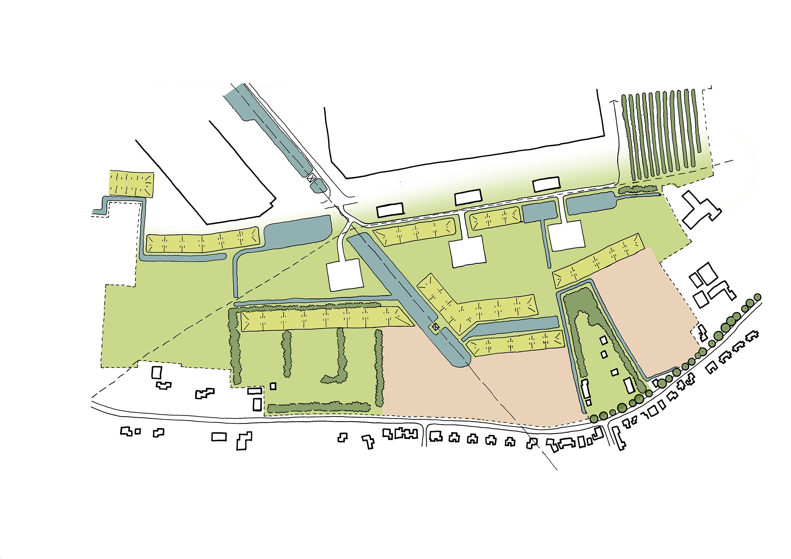
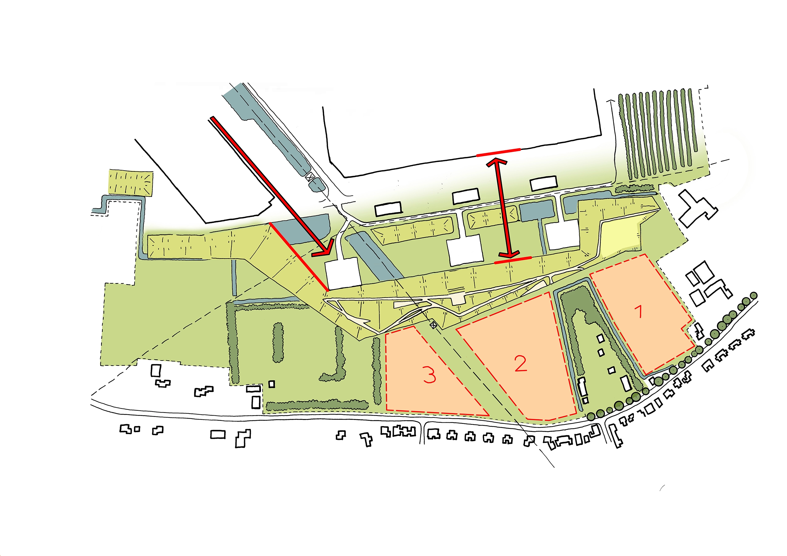
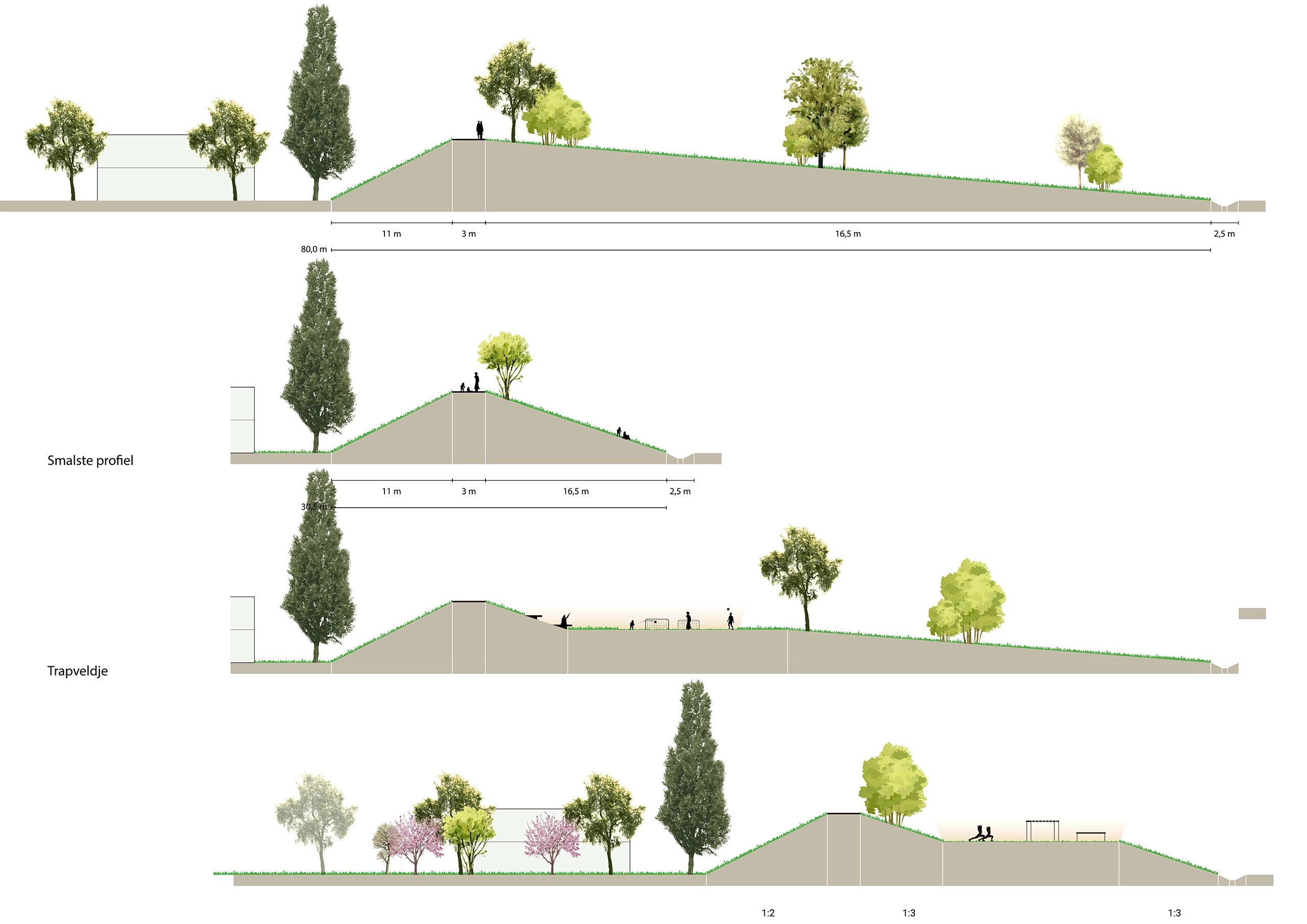
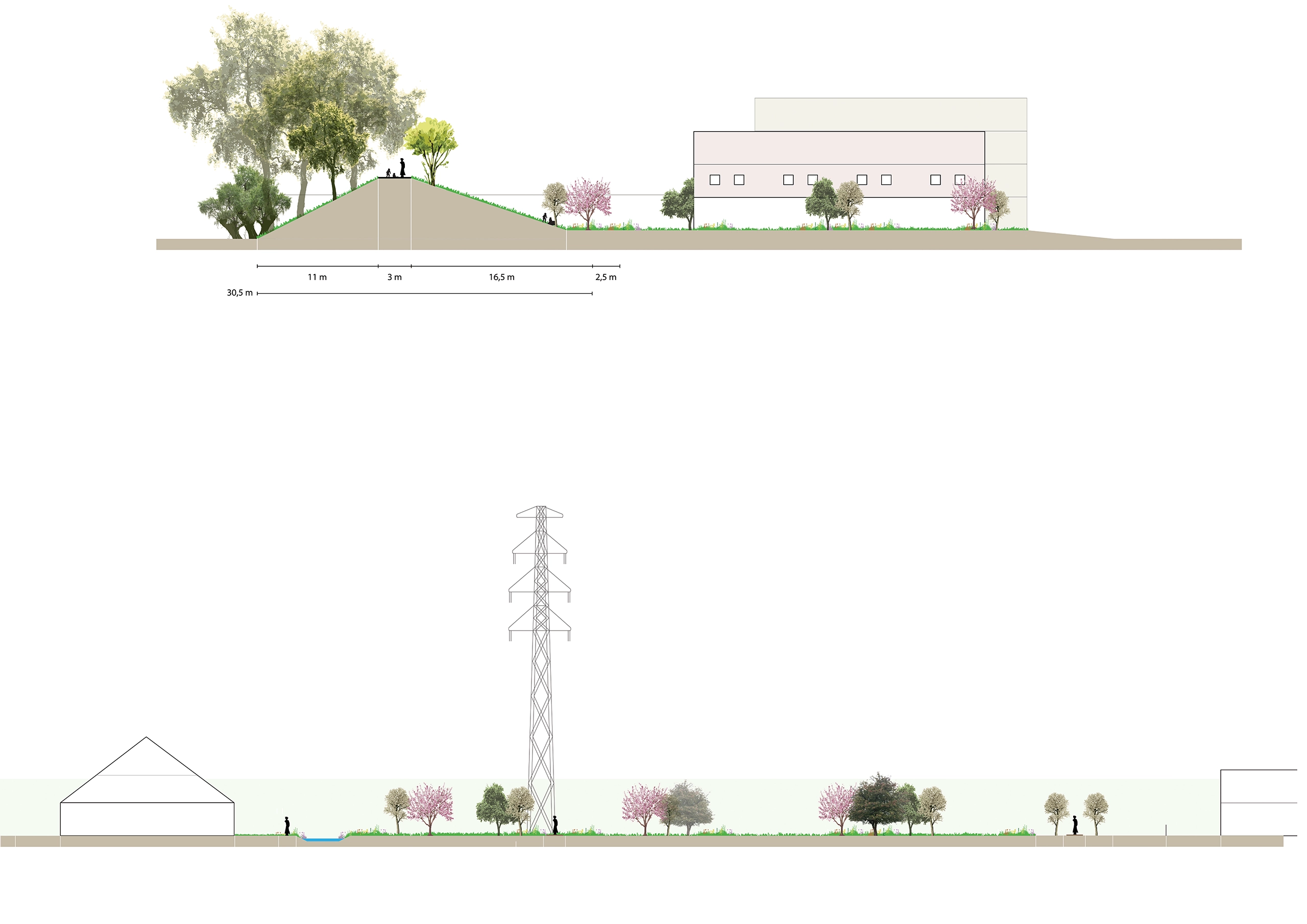
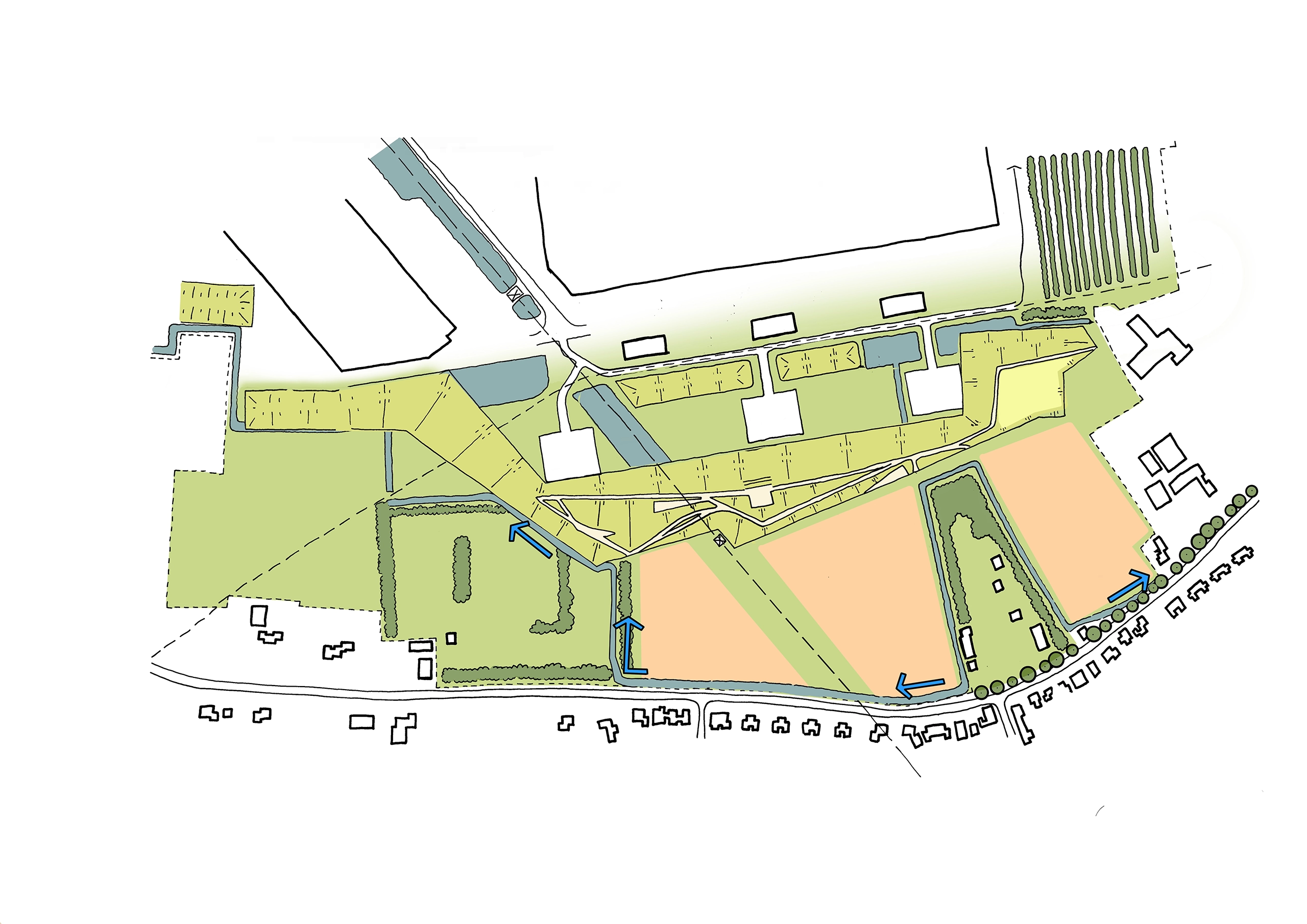
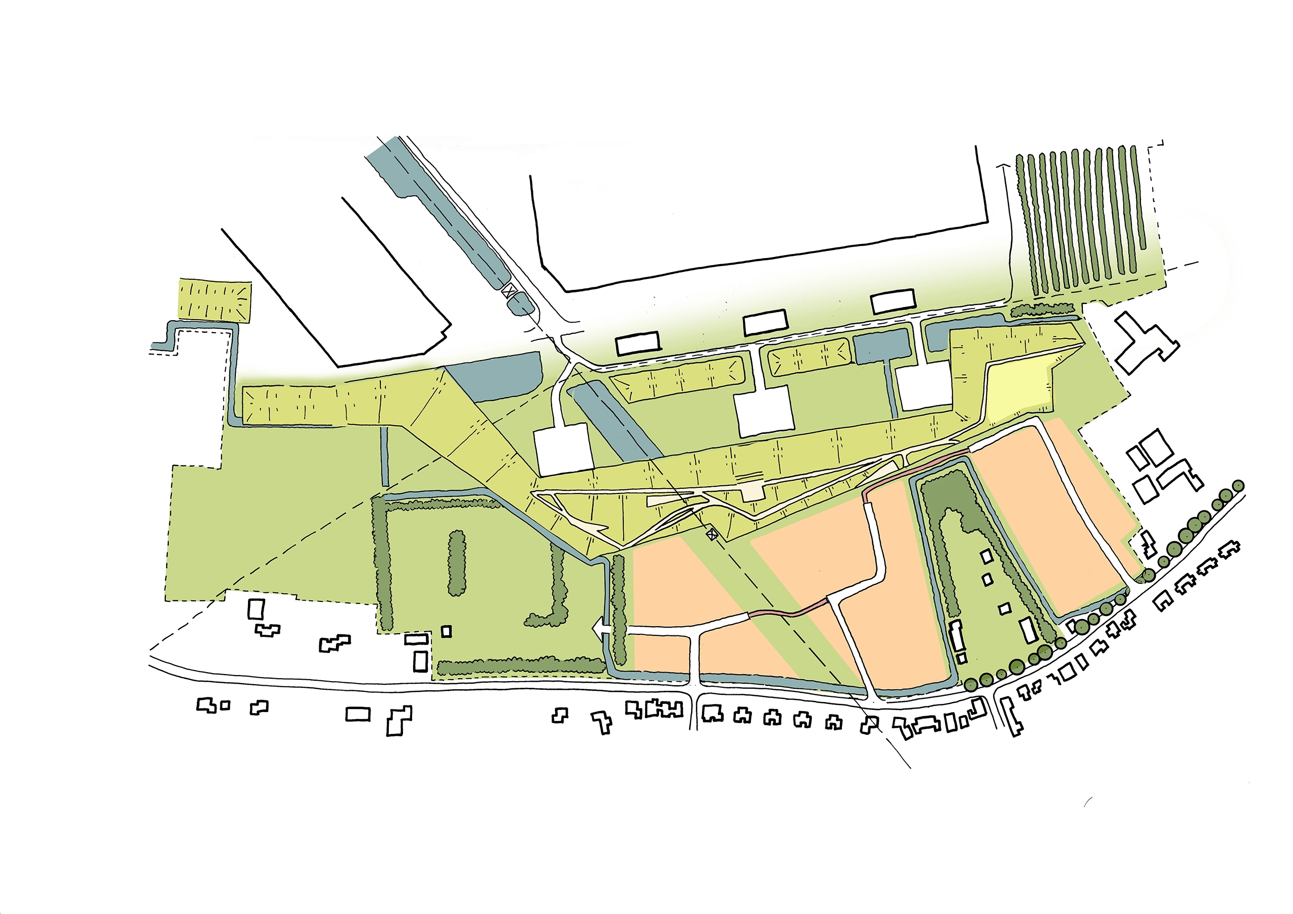
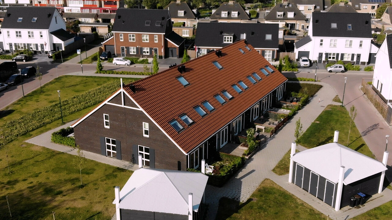
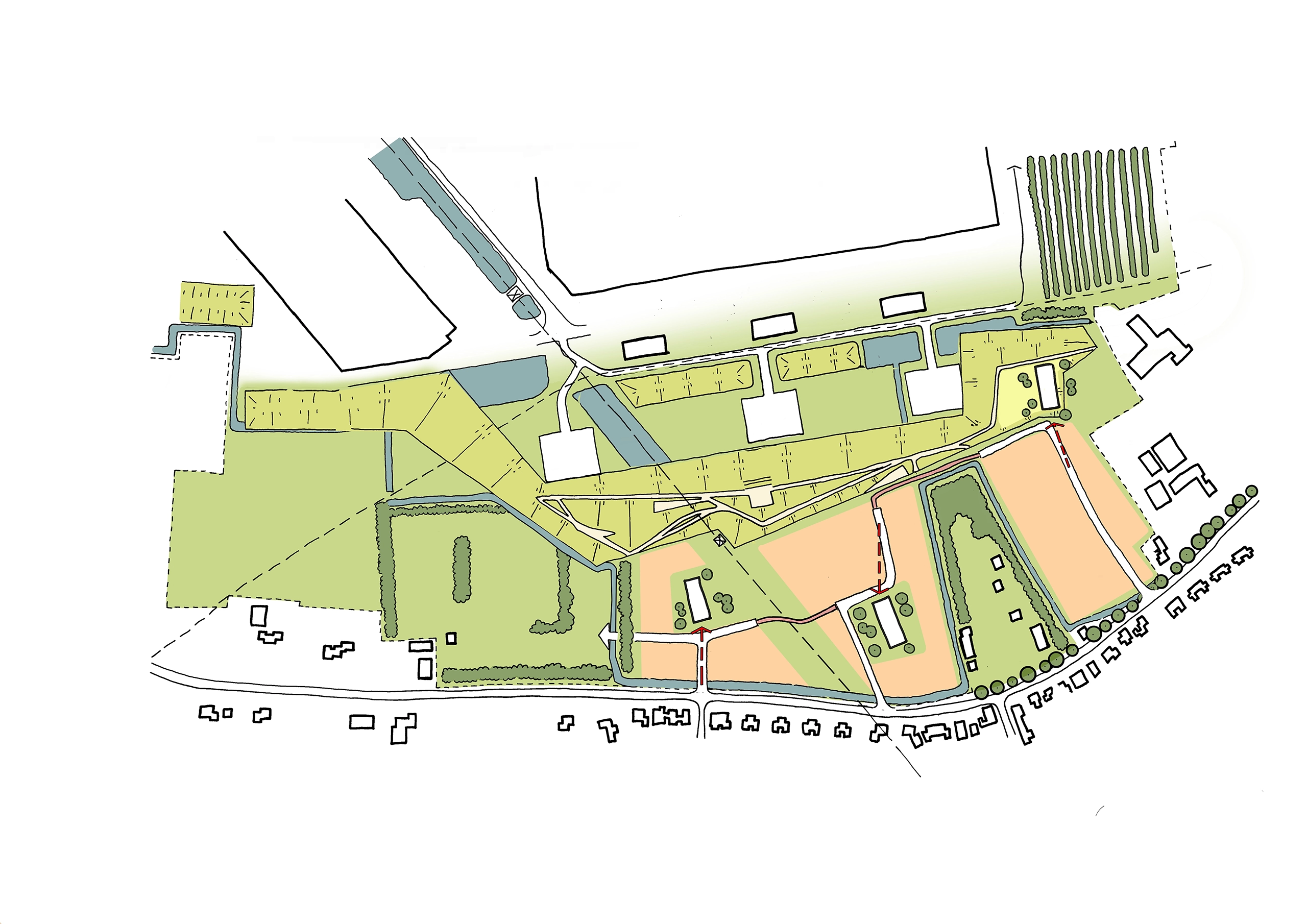
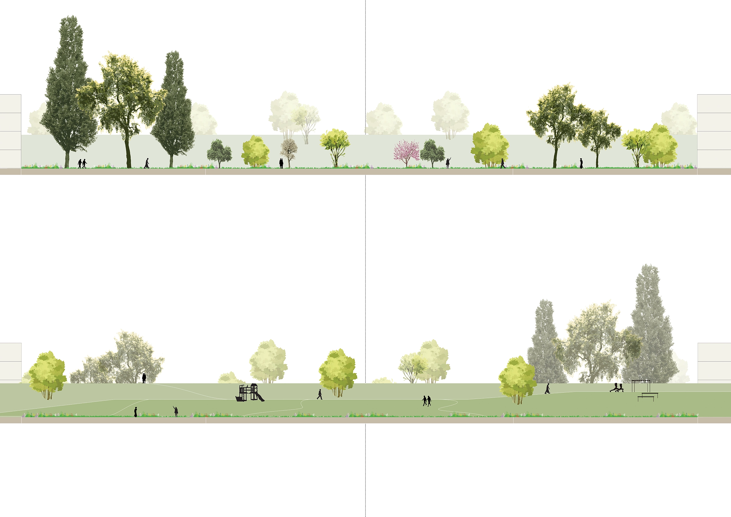
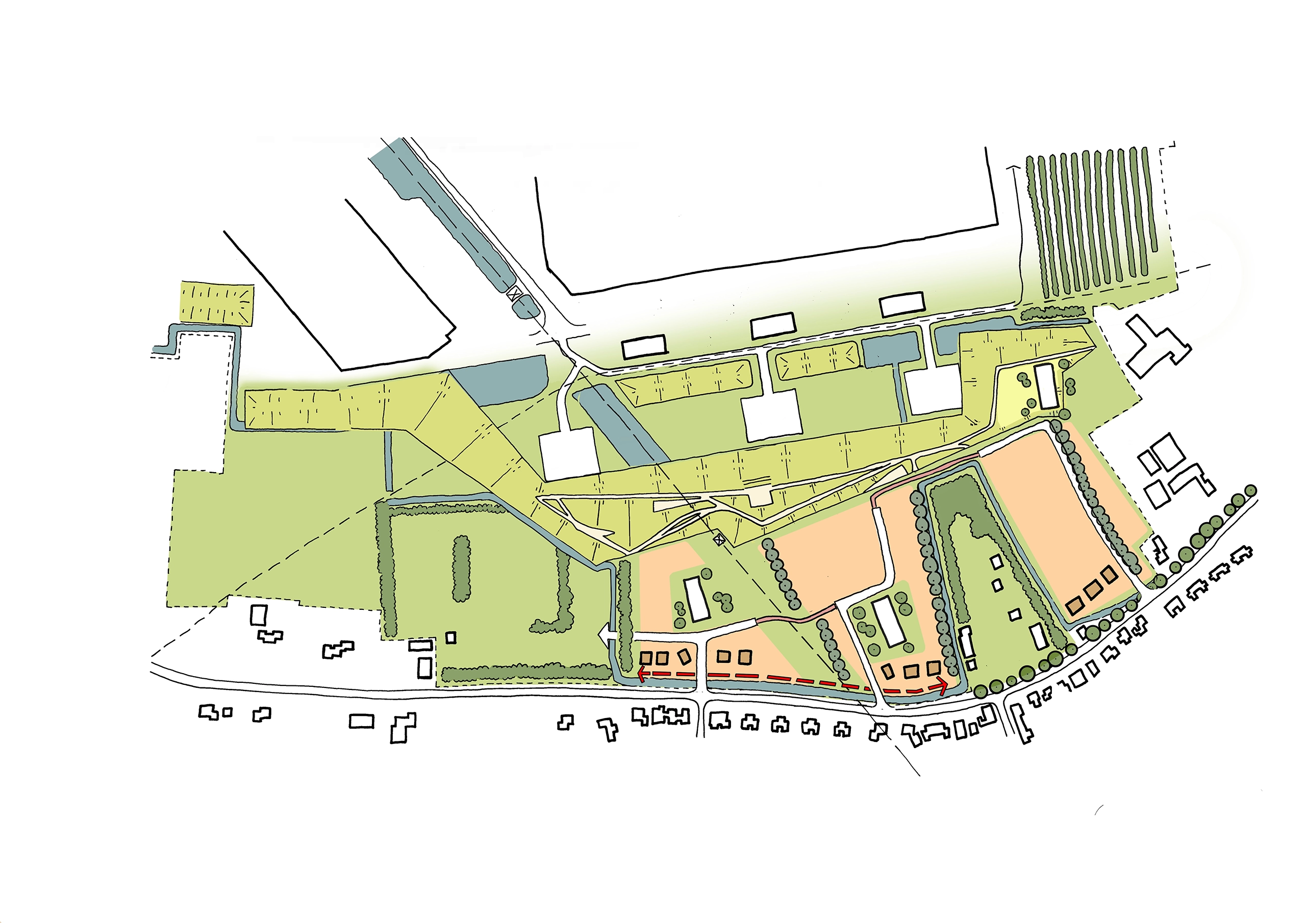
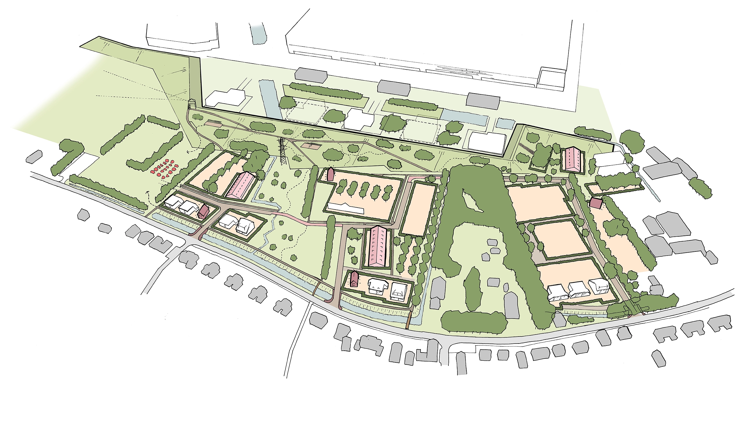
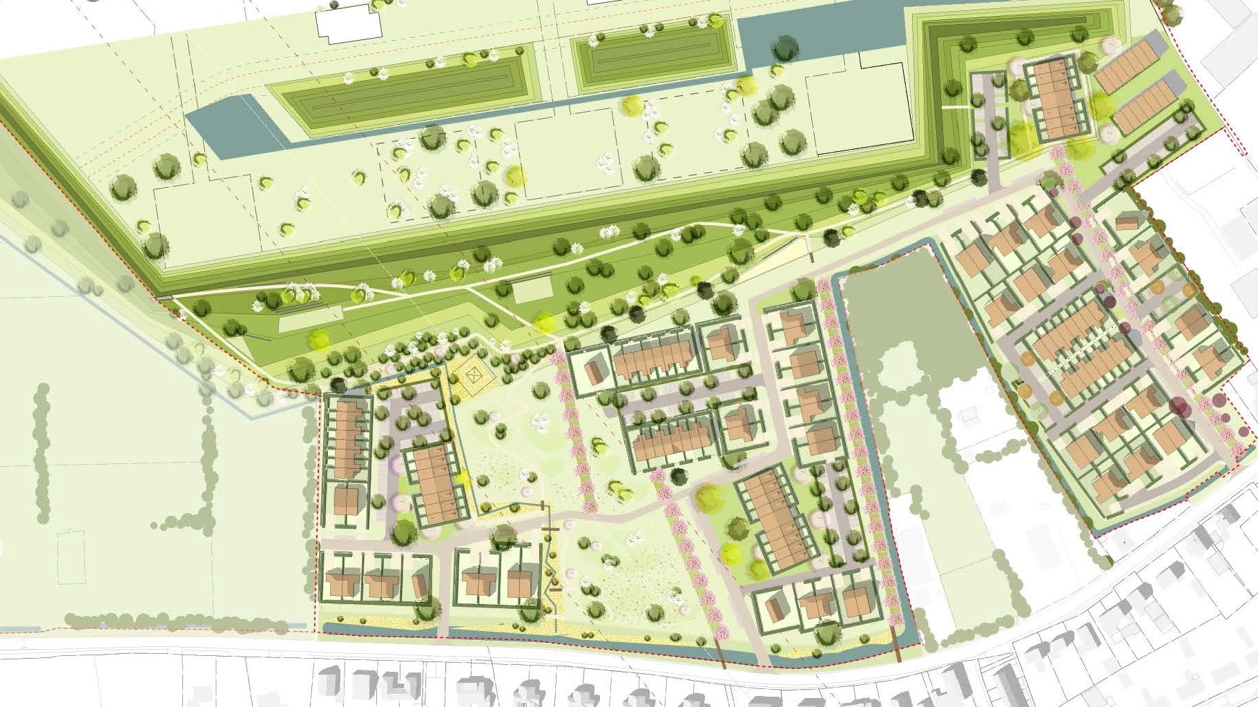
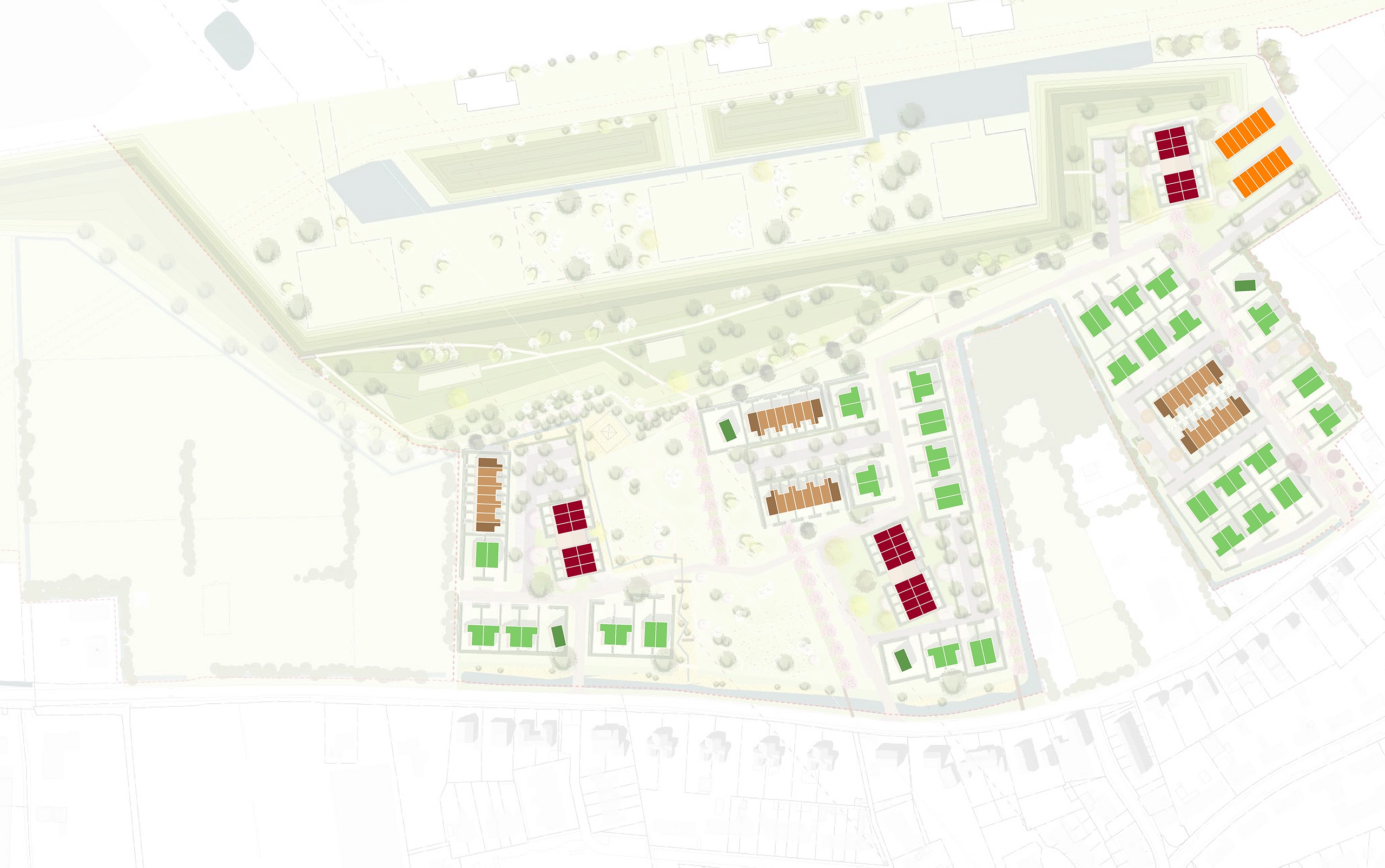
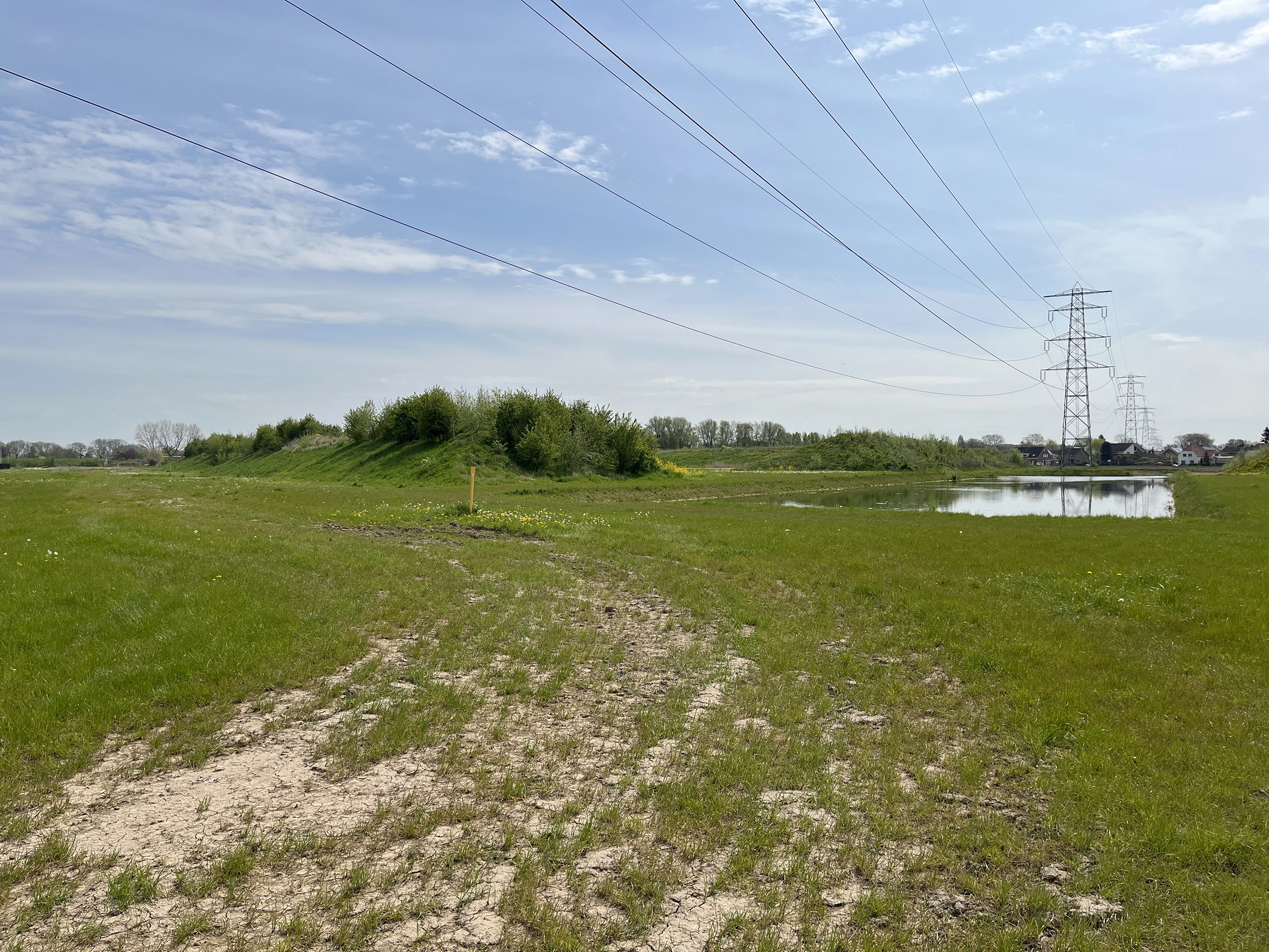
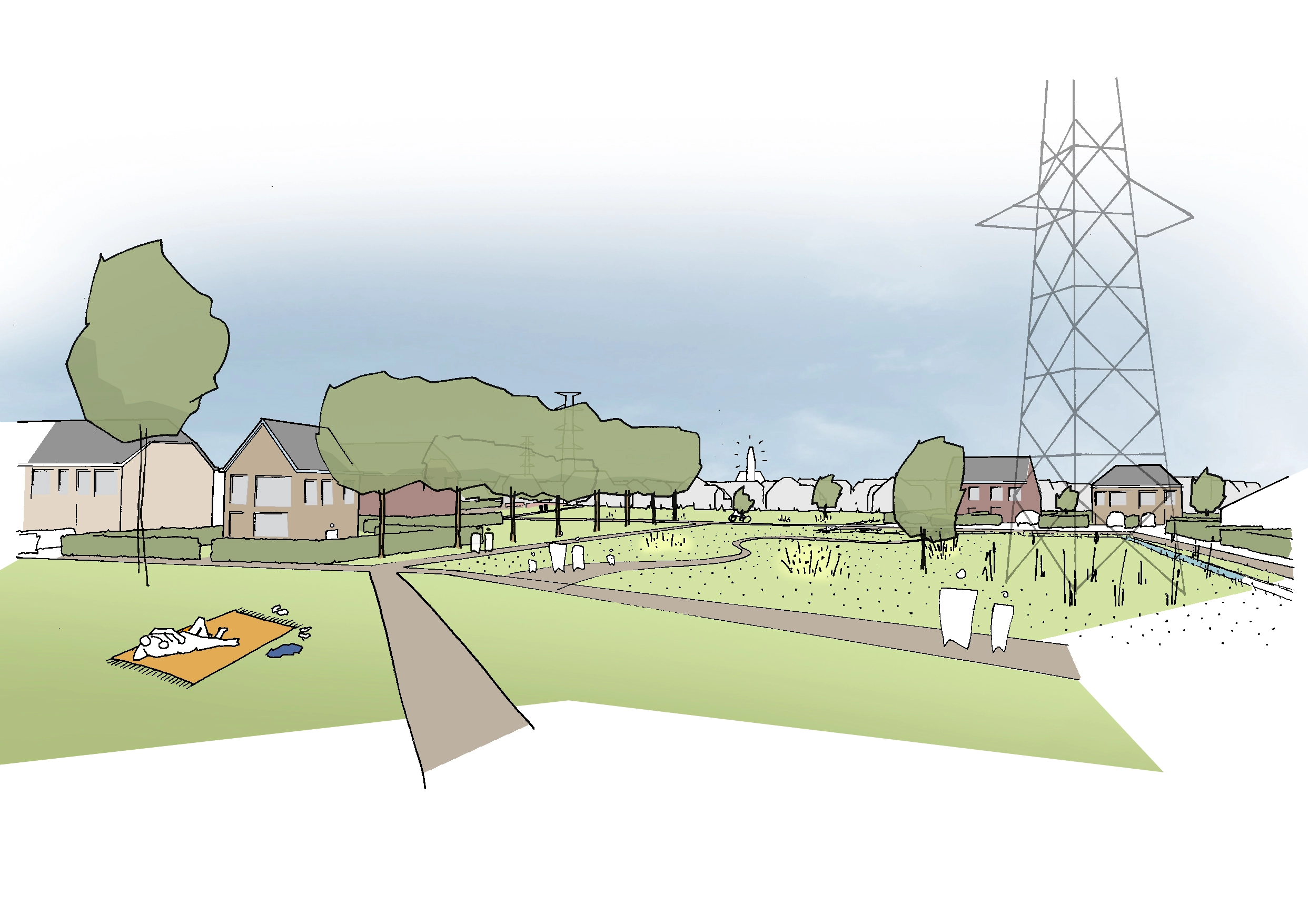
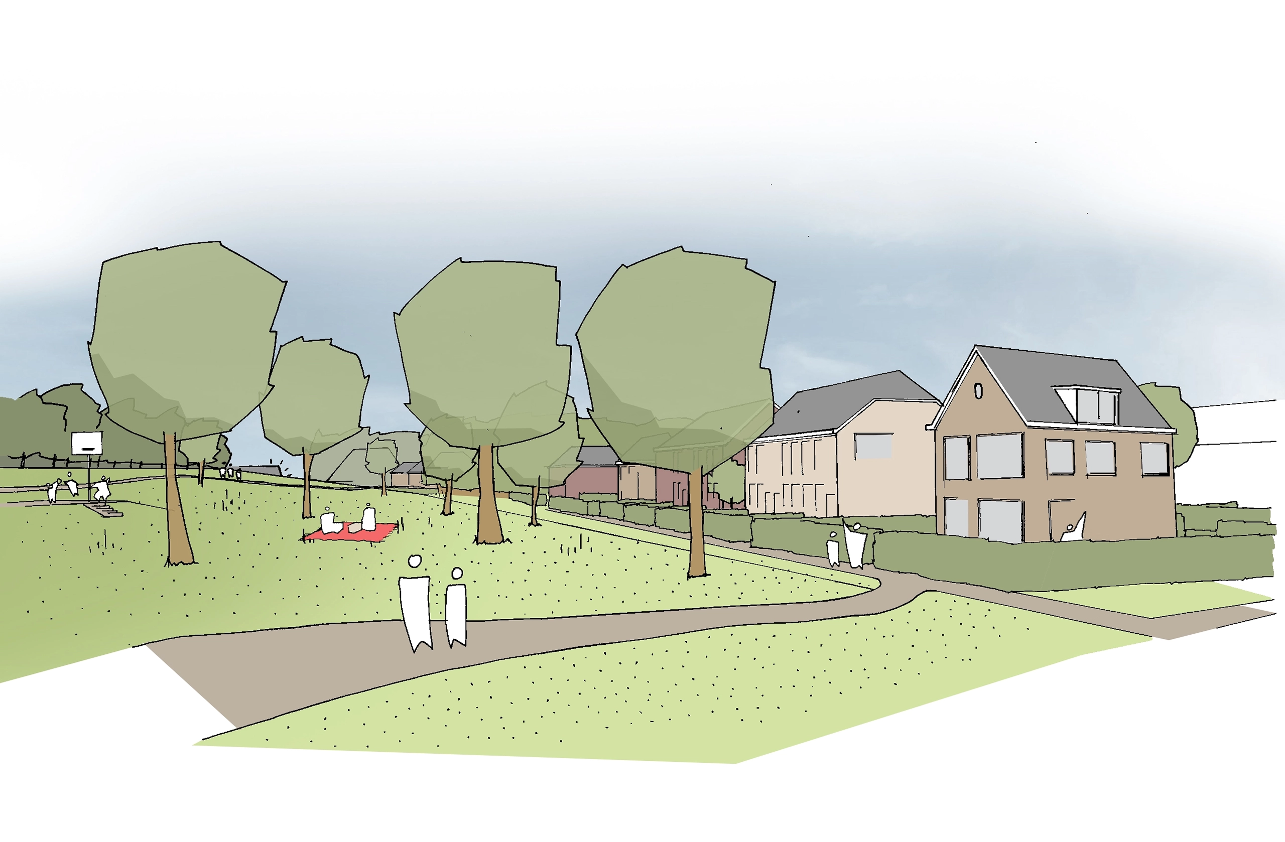
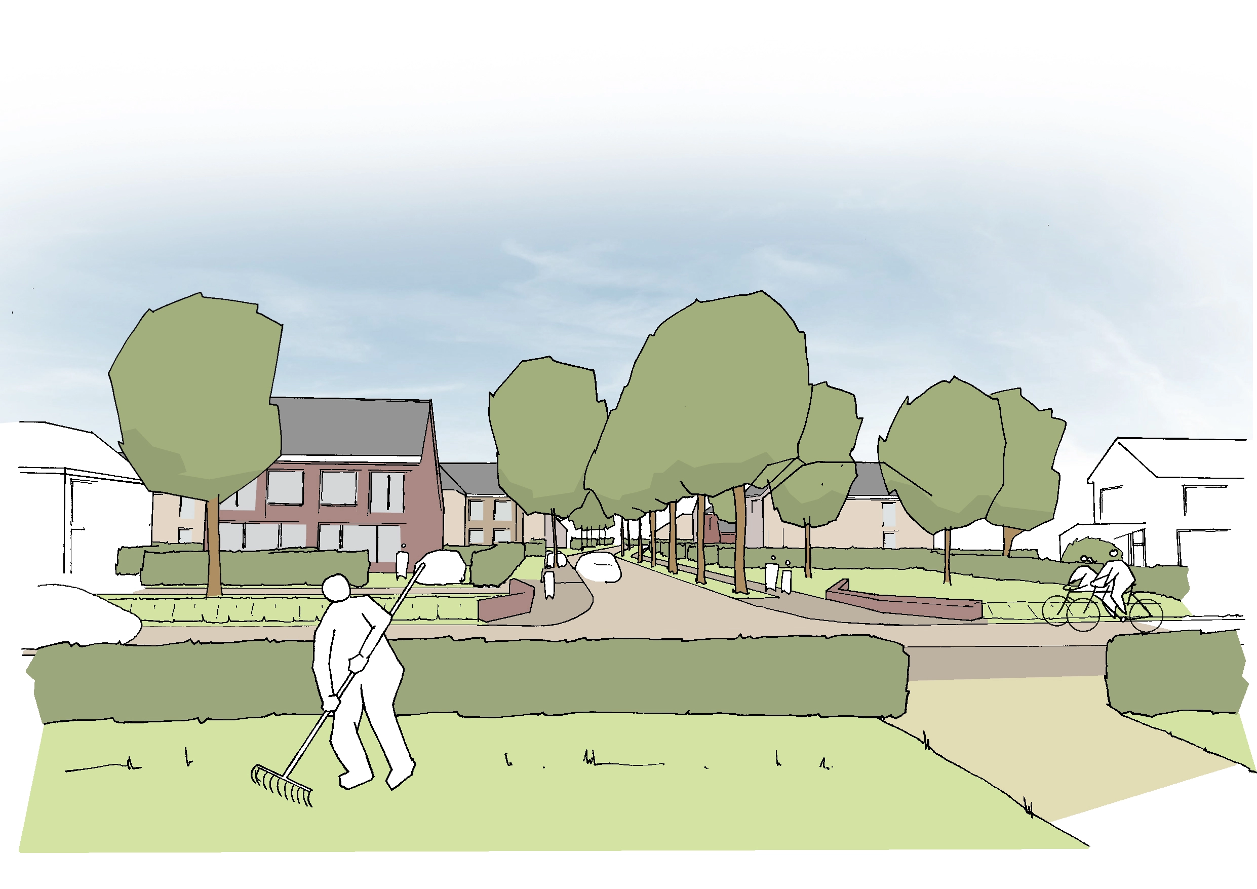
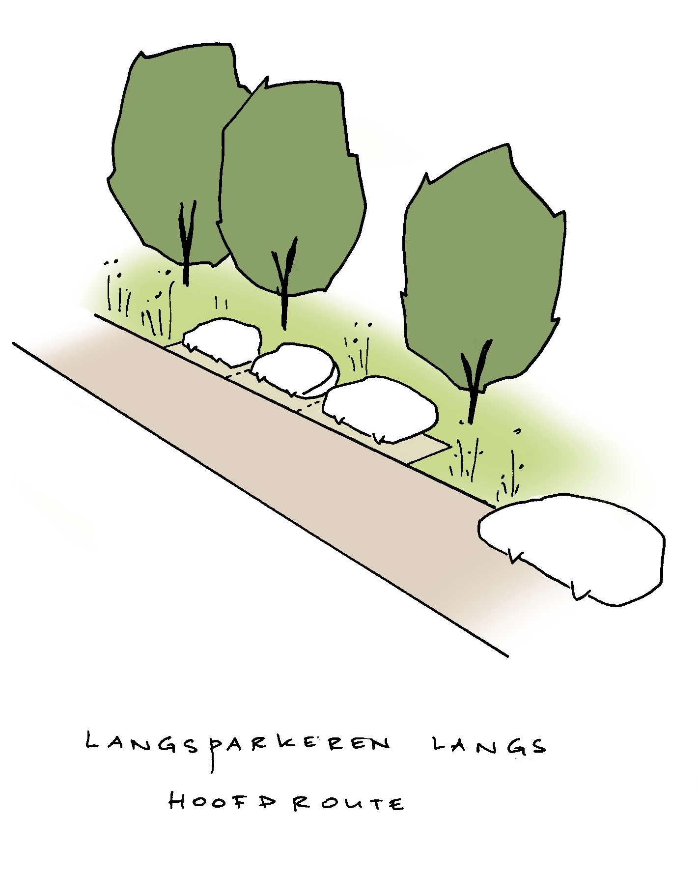
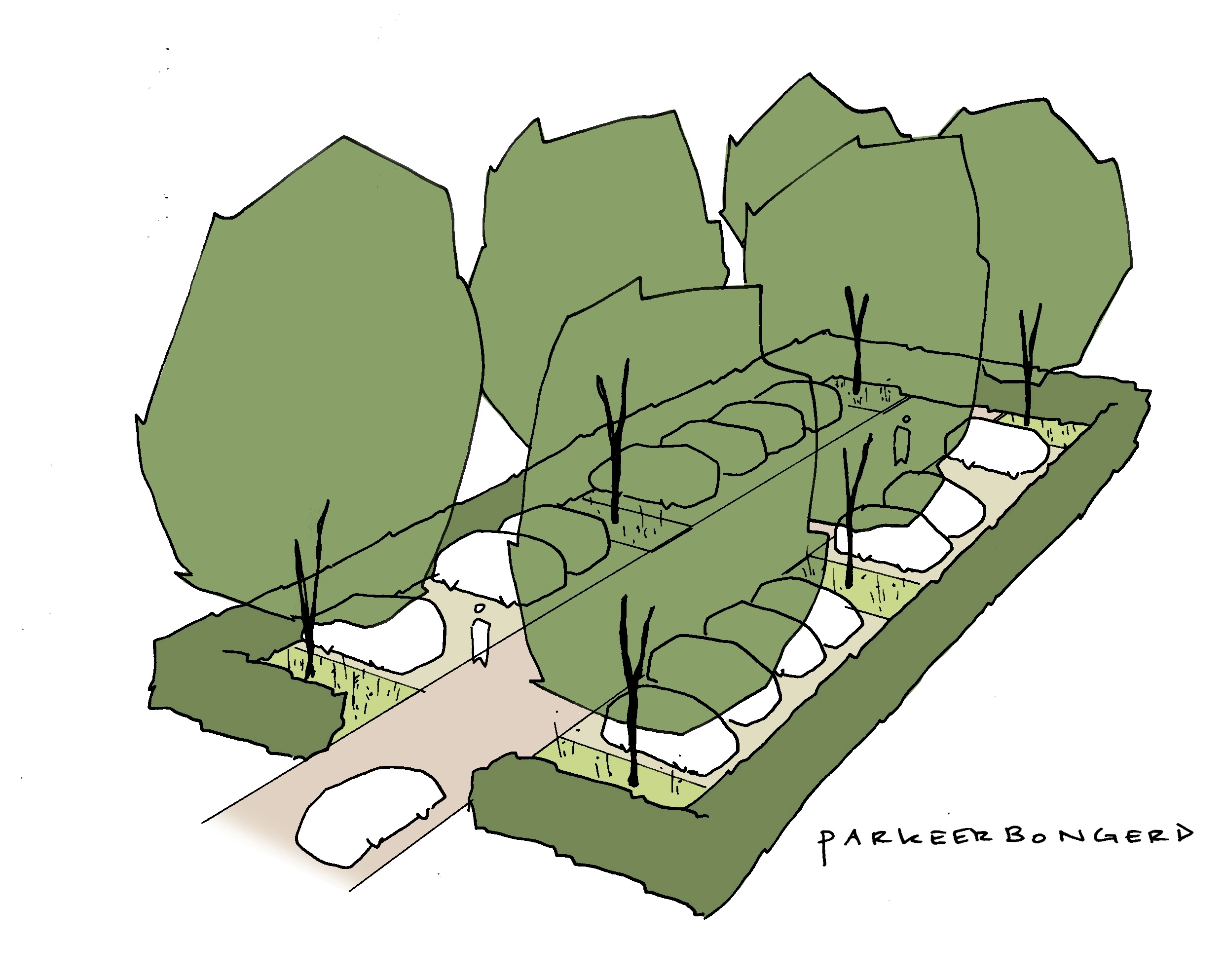
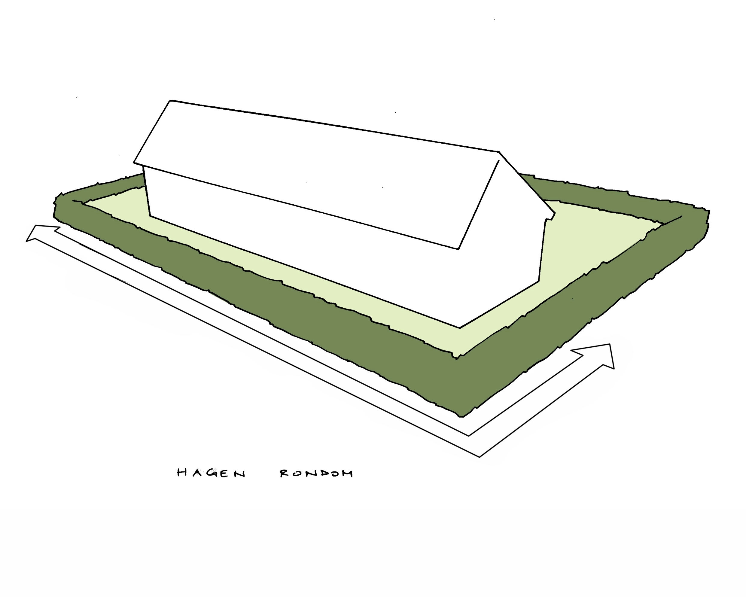
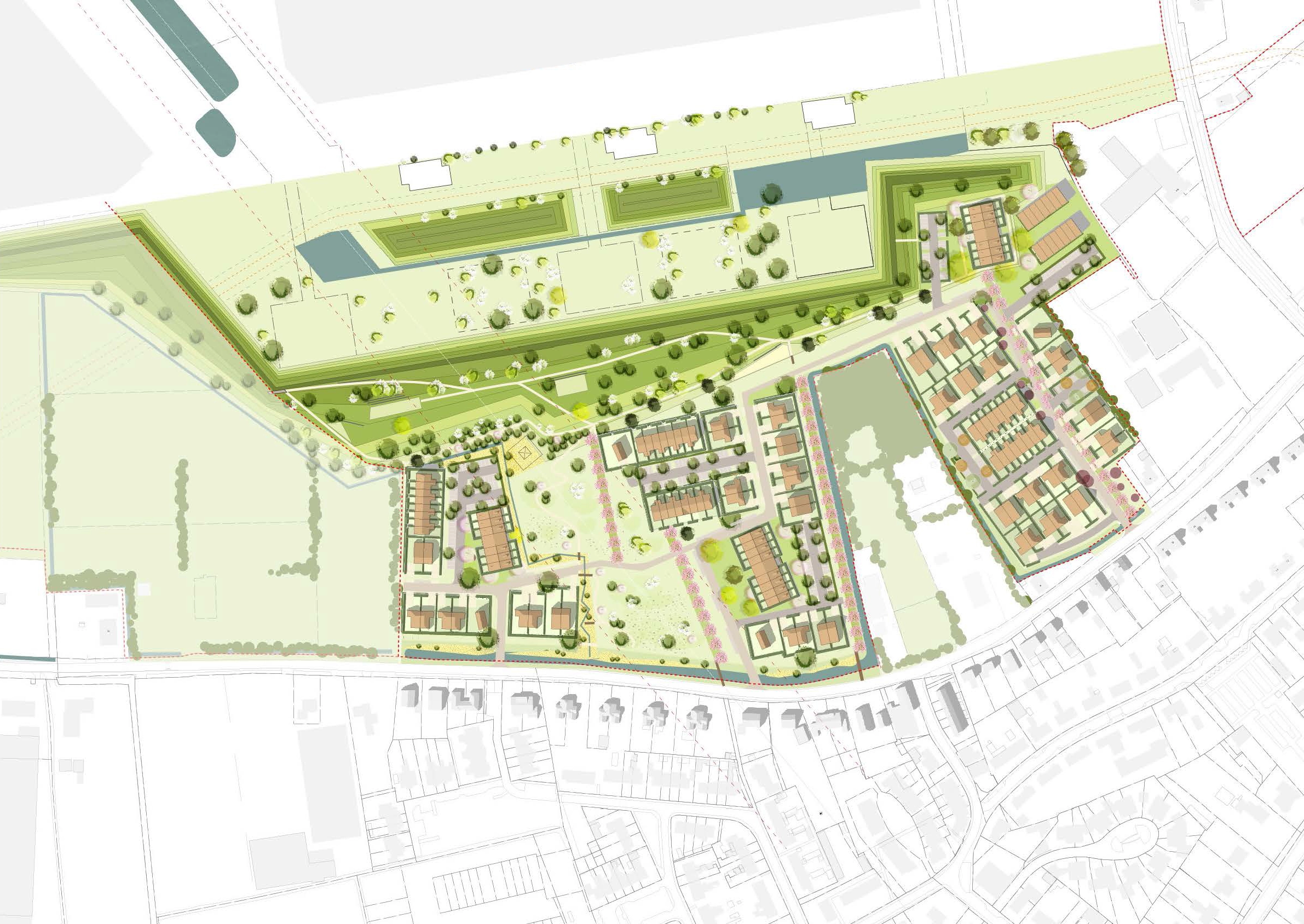
The urban plan for the northside of Oosterhout is located between the newly developed Park15 distribution centre and the village. It consists of three sub-areas, separated by high-voltage power lines and a farmstead. Earth embankments form the boundary between the distribution centre and the village expansion. On the southside of the embankments is a park with gentle slopes. The park is accessible to village residents via pear tree avenues. Each sub-area features a cluster of back-to-back dwellings in the shape of a farm. Together with the pear tree avenues, this forms a reference to the historic landscape of orchards, country lanes and hedgerows. Beneath the high-voltage power lines, the park connects to the village. Parking is provided within orchards, forming part of an edible public space.